Following on from our adventures in the Glyderau on Saturday, Sunday morning came and we made our way by convoy down to Cadair Idris, arriving at a thoroughly civilised 11 O’Clock ish. After a leisurely walk up through the very pleasant woodland and waterfalls up from Dol-y-cae, we emerged into the valley below Llyn Cau.
The steps through Dol-y-caeShe’s a waterfall
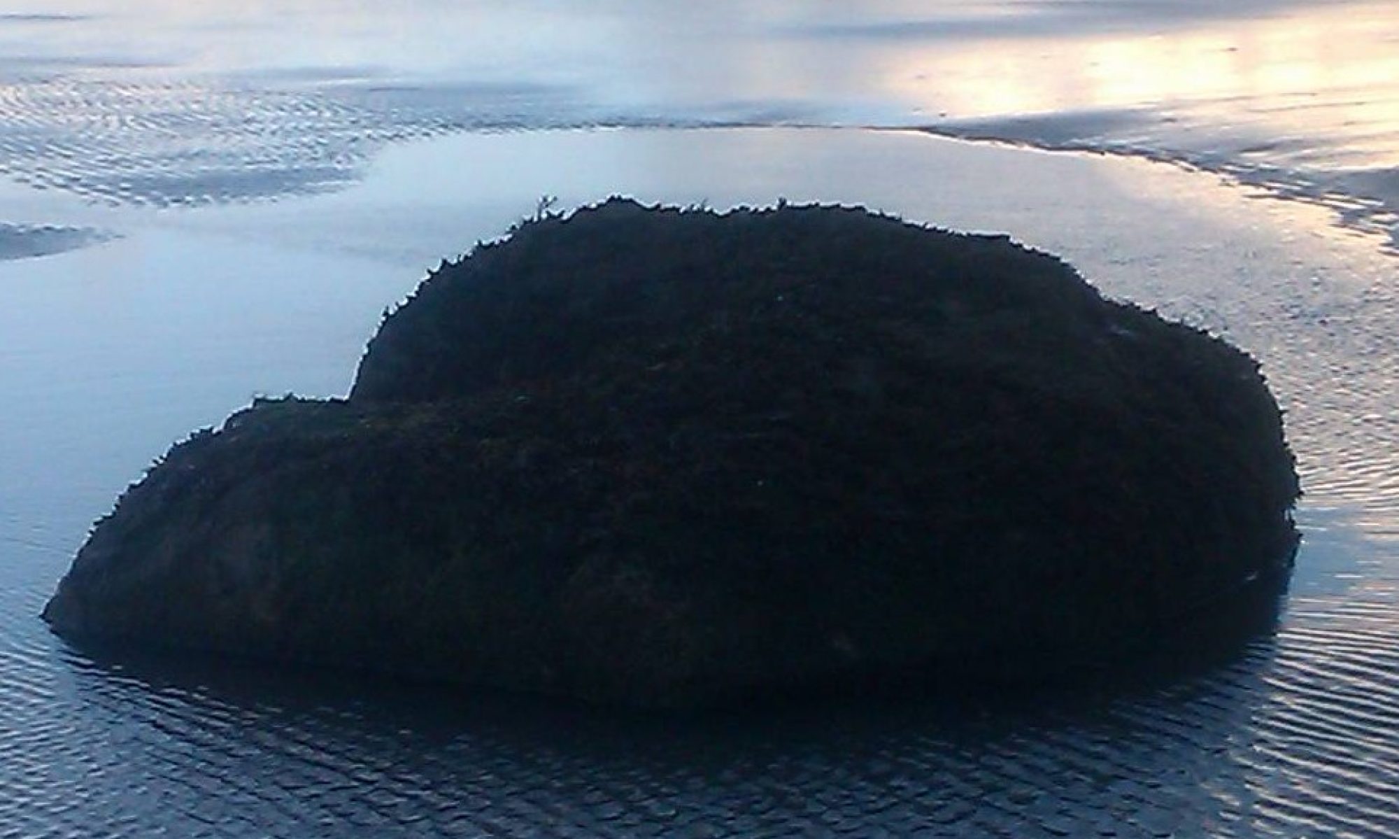
After the gentle ascent to Llyn Cau we stopped at the small boulder on the eastern shore for some breezy and slightly chilly sandwiches. The wind having picked up slightly and in a westerly direction, we were grateful to be on our way once again, skirting the northern side of the lake to pick up the Fox Path to the west.
Walking the northern shore of Llyn Cau
After negotiating the rocky north western shore of the lake, we picked up the path and made for the scrambley ascent to the ridge above Crag Cau, which is now firmly on our climbing ticklist on our return, whenever that turns out to be.
A saw not a fox on the whole route, I also believe the word ‘path’ to be something of an exaggeration.
On reaching the ridge, the utterly sublime view was a terrific reward for what was a very brief, half hour slog up the hill.
The view from the ridge above the fox path, towards Craig Lwyd in the south east, over the gulf that contains Llyn Cau.
We headed up to the summit, through the rock fields that litter the way up to it, to be rewarded once again buy the stunning views out across Llyn Gadair and on to Dolgellau, Barmouth and Fairbourn in the distance.
We took the Minffordd Path down from the summit, skirting the ridge around Llyn Cau to the west and south, picking up again the path that leads down to the forest from the eastern shore of the lake. This path, as well as being so well laid as to make the way no more a mountaineering feat than picking up bread from the shop, affords some awesome glimpses of the lake through the regular gullies along it’s northern side, catching the sun in the low south as we did, these made for some very nice pictures indeed, let down only by my abysmal abilities as a photographer.
one of the few gullies along the Minffordd path
All in all a grand and surprisingly easy day, excepting the Fox Path and some fairly enthusiastic wind on the ridge, ended by a fine mug of tea and the most substantial flapjack I have had in a long while, from the delightful tea room down by the car park.
Over 3 months since the last outing, rum left safely at home and some extra legs at hand, myself and 5 others made the trek up the A5 to the wonderful bunkhouse at the foot of Tryfan. If you’ve never stayed at the Gwern Gof Uchaf campsite/bunkhouse then I would heartily recommend it, there is nothing quite so appreciated after a hard day in the hills as a comfortable bed and a kitchen in which someone else cooks.
We arrived, as is customary, in dribs and drabs on Friday evening, all having driven up from our various locations in England after work, myself and another being the first on the scene picked up the key, filled up the kettle and got dinner on. Some time later the gang all assembled, we formulated a plan for the following day, it looked something like this;
The plan was formed to ascend by means of the North Ridge, then move down from the summit to Bwlch-Tryfan then make an attempt on Glyder Fach via Bristly Ridge, to descend Y Gribin.
Objective No.1 – Tryfan.
In the words of my Grandfather, an old mountaineer and climber of some experience “Tryfan is a serious mountain Clive, I took your Grandmother there to teach her to glissade”. From which I think he meant a warning to be careful and a vague admission of some ill-intent towards my long suffering Grandmother.
The following morning we got out early(ish) this time, we were out the door for 8 O’Clock and more than a good way up the hill for 9. The trip up Tryfan was one I shall always remember, the way was relatively easy on reflection, although reasonably exposed at times it was highly enjoyable, and has firmly placed a number of climbs on my wish list, Milestone Butress being near the top.
After the usual photographic shenanigans a-top the Cannon, we made our way to the North Peak, after descending the small saddle between the North Peak and Adam & Eve at the summit, we delayed at the head of North Gully to take yet more pictures perched atop the large stone bridge that marks the end of the climb. Upon readying ourselves to leave though, the day took a turn for the interesting when we heard a number of forlorn cries for assistance from below, which turned out to be an unfortunate chap, who, upon leaving his party to assist an unwell ascensionist back to the safety of level ground had decided to use North Gully as a shortcut and had some slippery experiences in the snow and a banged head for the trouble. Sensibly he then decided to stay put and shout for help. Luckily, no more than 40 meters away was a party of idiots buggering about on a scary rock (us), with harnesses on and ropes attached, because we aren’t that silly. At which point I descended the slope with an extra harness and rope and we belayed the unfortunate fellow to the top, where the rest of his, to this point oblivious, party had begun to congregate. All in all, the photographic buggering about and impromptu rescue effort took about an hour, in which time the sky had cleared and the summit of Tryfan beckoned in the clear, warm afternoon light.
After some cheese sandwiches and a small rest, we began the descent into Bwlch-Tryfan and our journey onwards, from the sunny gloriousness of Tryfan, to the ominous and cloudy Bristly Ridge.
Sunny Tryfan, looking back up to the summit from the south.Across the peak to Bwlch Tryfan and Glyder Fach
Sensible people would now turn around and go back. We however ploughed ahead sure and safe in our abilities to climb, route find and map read in heavy fog without compasses (thank you, magnetic Glyder Fach) and not die.
Objective No.2 – Glyder Fach
Encouraged by the worried looks of our fellow scramblers on Tryfan, we headed into the gloom, scrambling the snowy slopes of Bristly Ridge up to the more serious rock outcrops and crags. Over an hour of tentative route finding (essentially, choosing direction based on if it was ‘up’ or not), scrambling, climbing, swearing and quelling the ever increasing urges to panic, we made our way past a group of roped up, crampon wearing, ice-axe wielding, helmet wearing, proper mountaineers. With words of mutual encouragement and a look of what I am fairly certain was fear mixed with the concern you might see a person have for someone drunkenly starting a fight with a tiger, we climbed past them (after asking for directions of course), ropeless, axeless and spikeless, to the top ridge and along to the summit plateau of Glyder Fach.
Meeting some walkers who had elected for a slightly less mental route of ascent we decided to head over to the cantilever at the summit for some pictures, then head down. By this time we only had around 2 hours of daylight left so decided we should descend by the miners path, rather than Y Gribin, to get back before the onset of nightfall and yet more impromptu adventures.
Breaking the cloud into the view of the sunset shining onto the foothills of the Carneddau on the other side of the valley, lighting everything up as it did in a golden bath, is something I will always remember.
We trudged down the miners path back to the bunkhouse a happy bunch, some frustrating navigating at the summit behind us (we only walked in one circle after all, not loads) we reflected on the beauty of the land around us, how lucky we were to enjoy it without mishap, and looking forward to the Spaghetti we were going to cook as soon as we got back.
So back in November 2012 myself and 2 friends headed over to Snowdonia to attempt the Rhinog traverse. We didn’t make it…
Arriving in Tal-y-bont to stay in a convenient caravan on friday night, we ate pizza and made our preparations for the following day. We were to be up for the first train to Talsarnau to make the ascent up from sea level through the Rhinog foothills up to Llyn Eiddew-Mawr and then on to the Roman Steps and after that, the Rhinogau themselves.
What actually happened was rather less bushy-tailed.
Missing the first train, which would have got us into Talsarnau around 08:40, we had a leisurely stroll on the beach, after waiting for the next train (10 O’Clock) we eventually got on our way up through Talsarnau and Soar at just before 11. Having made less than optimal use of the available daylight (which was due to disappear at around 5 in the afternoon) we made fairly leisurely progress up to the Llyn for lunch, passing through the beautiful woodland around Soar.
Leaving the woodland behind and passing into the rolling grassland between the woodlands and the slightly less hospitable foothills around Clip, the pre-lunch mood of the team was bouyant and happy. The sun was out warming our backs and the temperature was at a balmy 7 degrees. All in all very comfortable and made for a wonderful morning.